The Commons Registration Act 1965 dealt with only one element of the Royal Commission’s package: the registration of commons and greens. Ministers promised second-stage legislation to address management and access. However, despite continued pressure from the society, this was not forthcoming for nearly 50 years.
The 1965 act allowed only three years for the registration of common land and its rights and owners (2 January 1967 – 2 January 1970), and the available time was curtailed by a foot-and-mouth epidemic. In early 1966 a conference, organised and led by the society, agreed to form a Central Committee on Commons Registration (CCCR) to deal with registration problems and to set up a documentary research service. Various outdoor organisations were involved. Dr Brenda Swann, a left-wing activist, was appointed as research secretary under the aegis of the society and funded by subscriptions from the CCCR’s members.
The society’s secretary, barrister Ian Campbell, produced a how-to-do-it guide to the process, and later published the first of the society’s many booklets on commons.


Alan Mattingly (then a geography undergraduate at Cambridge and later secretary of the Ramblers, 1974–98) was employed to gather evidence for registration. Among many others, Richard Harland in North Yorkshire did sterling work. The act said that if land was not registered by the closing date it ceased to be common. There was little time for accuracy; every likely patch must be given a chance. As a result, some land which was not common was registered, but far more was wrongly omitted.
Even after the Commons Commissioners had spent many years resolving disputes, the registers were inaccurate, inadequate, inconsistent between registration authorities and sometimes incomplete. These problems only began to be remedied by the Commons Act 2006.
Catching the Rye
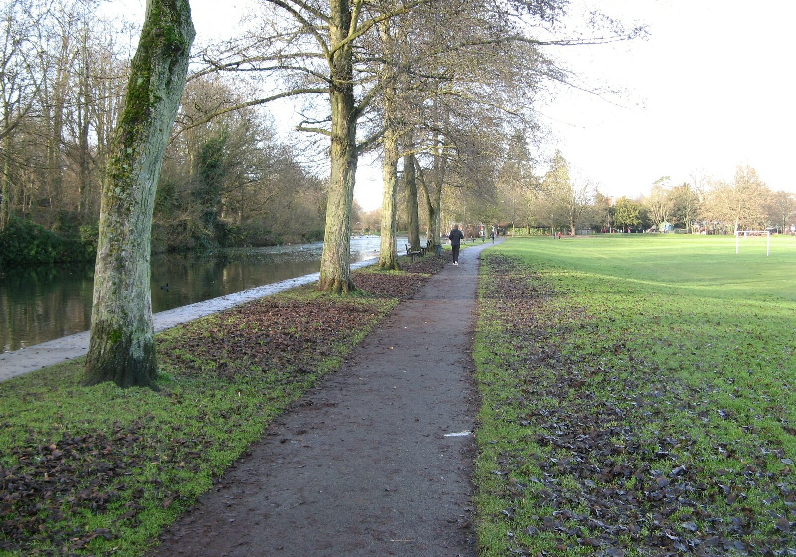
Wycombe Rye is a 68-acre public open space on the east side of High Wycombe, Buckinghamshire, extending beside the River Wye. Since 1927 it has been owned by High Wycombe Borough Council, now Wycombe District Council.
In 1962 part of the land was threatened with a compulsory purchase order, to enable an inner relief road to be built across it.
The society firmly backed the newly formed High Wycombe Rye Protection Society. The road had already been approved but there was a further inquiry into the appropriation of 2.4 acres of open space. On the inspector’s recommendation, the minister confirmed the appropriation order, under the Acquisition of Land (Authorisation Procedure) Act 1946, on 5 February 1965. Since no land was offered in exchange, the order became subject to special parliamentary procedure. That meant that objectors could petition parliament and present their case to a joint committee of both houses.
Both societies gave evidence. Magnificently, the committee ruled that the orders be annulled. The Rye has remained intact to this day.
This is one of countless examples of the Society helping a local pressure group to save open space or public paths. Professional expertise, local knowledge and enthusiasm are a powerful mix.
